Skip to search results
loaded 59 results
California Maps
(59 products)Products (59)
Sort: Best Match
- Benchmark MapsCalifornia Road & Recreation Atlas - 12th Edition$29.95
- Green TrailsMap 1138SX - Desolation Wilderness$18.00
- National GeographicCalifornia Wall Map - Tubed$24.95
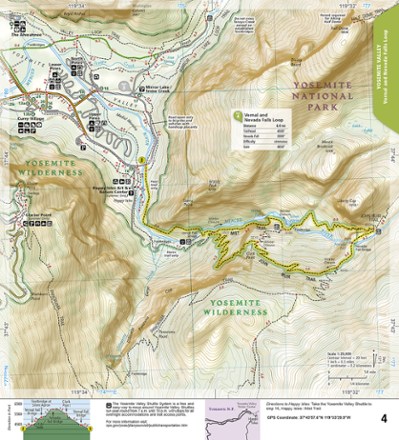
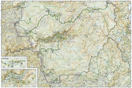
- National GeographicYosemite National Park Map & Day Hikes Map Pack$24.95
- National GeographicYosemite National Park Day Hikes Topographic Map Guide$14.95
- National GeographicYosemite National Park Trail MapTop Rated$14.95
- National GeographicRedwood National Park Trail MapTop Rated$14.95
- National GeographicCrystal Basin / Silver Fork: Eldorado National Forest Topographic Map$14.95
- National GeographicMount Tamalpais & Point Reyes Map$14.95
- Green Goat MapsSequoia & Kings Canyon National Parks Map - 1st Edition$14.95
- Green TrailsMap 1458SXL - Palm Springs$20.00
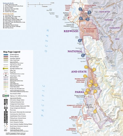
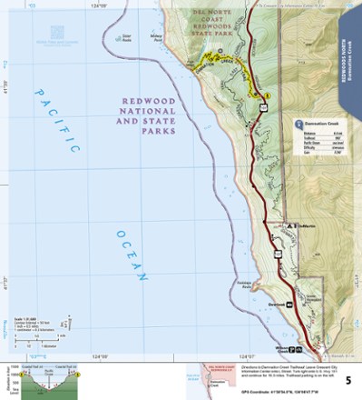
- National GeographicRedwood National and State Parks Day Hikes Topographic Map Guide$14.95
- Green TrailsMap 1456S - Mount San Jacinto$14.00
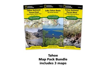
- National GeographicTahoe Map Pack$34.95
- National GeographicPacific Crest Trail Topographic Map Guide: Scodie, Piute, and Tehachapi Mountains$14.95
- National GeographicMerced & Tuolumne Rivers Topographic Map$14.95
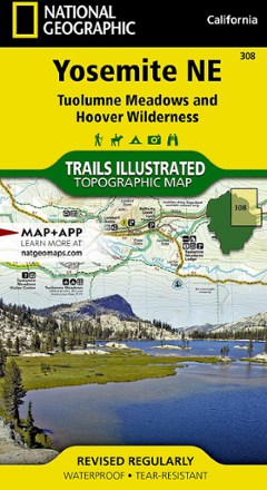
- National GeographicYosemite National Park NE - Tuolumne Meadows and Hoover Wilderness$11.95
- National GeographicPacific Crest Trail Topographic Map Guide: Sierra Nevada South$14.95
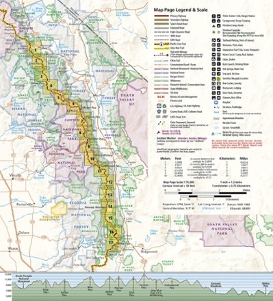
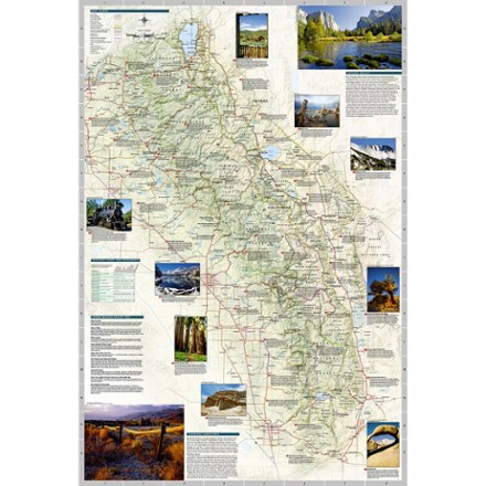
- National GeographicSierra Nevada Destination Map$14.95
- Adventure MapsSequoia & Kings Canyon National Park Trail Map$17.95
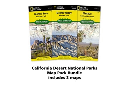
- National GeographicCalifornia Desert National Parks Map Pack$34.95
- Green Goat MapsYosemite National Park Map - 1st Edition$14.95
- National GeographicPacific Crest Trail Topographic Map Guide: California Sierra Nevada Map Pack$24.95
- National GeographicTahoe National Forest - Sierra Buttes and Donner Pass$14.95
- National GeographicPacific Crest Trail Topographic Map Guide: San Gabriel and San Bernardino Mountains$14.95
- National GeographicBig Basin / Santa Cruz Topographic Map$14.95
- National GeographicMammoth Lakes and Mono Divide Trail Map$14.95
- Green TrailsMap 1187S - Golden Gate, Mount Tam$14.00
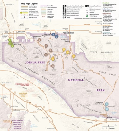
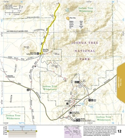
- National GeographicJoshua Tree National Park Day Hikes Topographic Map Guide$14.95
- Tom Harrison CartographyTuolumne Meadows & High Sierra Camps Map$12.95


1–30 of 59 products
Sort: Best Match