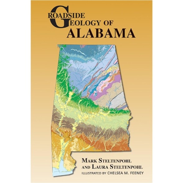
Mountain Press Roadside Geology of Alabama
With Roadside Geology of Alabama as your guide, you can discover caverns in fossil-rich limestone, shark teeth in sands of the Gulf Coast and rocky outcrops in Muscle Shoals along the Tennessee River.
- 265 color photographs
- 130 color maps and illustrations
- Glossary, References and Index sections
Imported.
Alabama's world-class geology, nearly as famous as its music, includes tracks of early amphibians and reptiles, fossilized bird feathers and 2-billion-year-old mineral grains eroded from rocks now found in Africa. And lest you think Alabama is just alligator swamps and estuary mud, you can view Little River Canyon, in places 600 ft. deep, atop Lookout Mountain, a broad plateau incised by waterfall-laced rivers at the southern end of the Appalachian Mountains.
The authors intertwine the geology with cultural stories, legends and history to paint an enjoyable picture of how Alabama and its rocks came to be. For example, Tannehill Ironworks and iron mines in Red Mountain Park and Ruffner Mountain Nature Preserve document Birmingham's industrial birth as the source of iron for the Confederacy. Buildings at Cheaha State Park in the Talladega Mountains were constructed by the Civilian Conservation Corps using blocks of locally quarried Cheaha Quartzite. Native Americans chiseled stone axes out of the Hillabee greenstone, one of Alabama's ancient volcanic rocks. With this book as your guide, find caverns in fossil-rich limestone, shark teeth in the shifting sands of the Gulf Coast, and rocky outcrops in Muscle Shoals along the banks of the Tennessee River, known to Native Americans as the "singing river."
| Best Use | Travel |
|---|---|
| State / Province | Alabama |
| Format | Paperback |
| Dimensions | 9 x 6 inches |
| Author(s) | Mark Steltenpohl and Laura Steltenpohl; illustrator: Chelsea M. Feeney |
| Publisher | Mountain Press |
| Number of Pages | 360 |
| ISBN-13 | 9780878427147 |
| Copyright Year | 2023 |
Be the first to write a review!
Adding a review will require a valid email for verification
