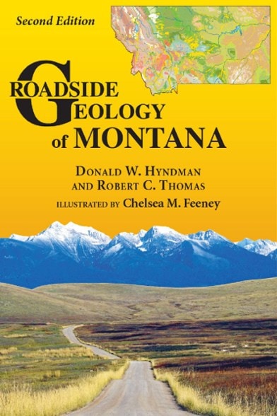
Mountain Press Roadside Geology of Montana - 2nd Edition
Dig deep into the geologic history of Big Sky country that's truly prehistoric with the fully revised, full-color 2nd edition of Roadside Geology of Montana and discover what's hidden in plain sight.
- Covers the northern edge of the Yellowstone caldera, dinosaur fossils in Montana's badlands, deep mountain mines and the scars of the world's largest ice age floods
- Includes expert insight from geologists, detailed descriptions filled with history and context, and full-color illustrations by Chelsea Feeney to help you along the way
Made in USA.
Now, nearly 50 years after the first book, Mountain Press is releasing this completely revised full-color second edition that, like so many things in Montana, is big. But consider this: No other place in the world has such amazingly diverse and well-exposed rocks with such dramatic stories. For example, Montana lies at the northern edge of the Yellowstone caldera, the world's largest and most violent volcano. A lot of what the wold knows about dinosaurs and their demise came from fossils discovered in Montana's badlands. What began with panning for gold in the 1860s led to 1-mile-deep mines in Butte that supplied 60 percent of the world's copper by 1898. The world's largest ice age floods left ripples up to 50 feet high as Glacial Lake Missoula catastrophically drained from western Montana. With this book as your guide, you'll discover these and other world-class geologic features around every bend of the road.
| Best Use | Travel |
|---|---|
| State / Province | Montana |
| Format | Paperback |
| Dimensions | 6 x 9 inches |
| Author(s) | Donald Hyndman and Robert Thomas |
| Publisher | Mountain Press |
| Number of Pages | 480 |
| ISBN-13 | 9780878426966 |
| Copyright Year | 2020 |
Be the first to write a review!
Adding a review will require a valid email for verification
