Montana’s web of rivers, lakes, mountains and meadows means you could throw a dart at the state map and end up with a bucket-list adventure. Or you can start here. We’ve rounded up some of our favorite hikes in Big Sky Country. But hiker beware: This list only scratches the surface.
Ousel Falls
- Location: 46 miles southwest of Bozeman
- Length: 1.6-mile out-and-back
- Difficulty Rating: Intermediate
- Best For: A family day out in the summer
- Dogs: Leashed
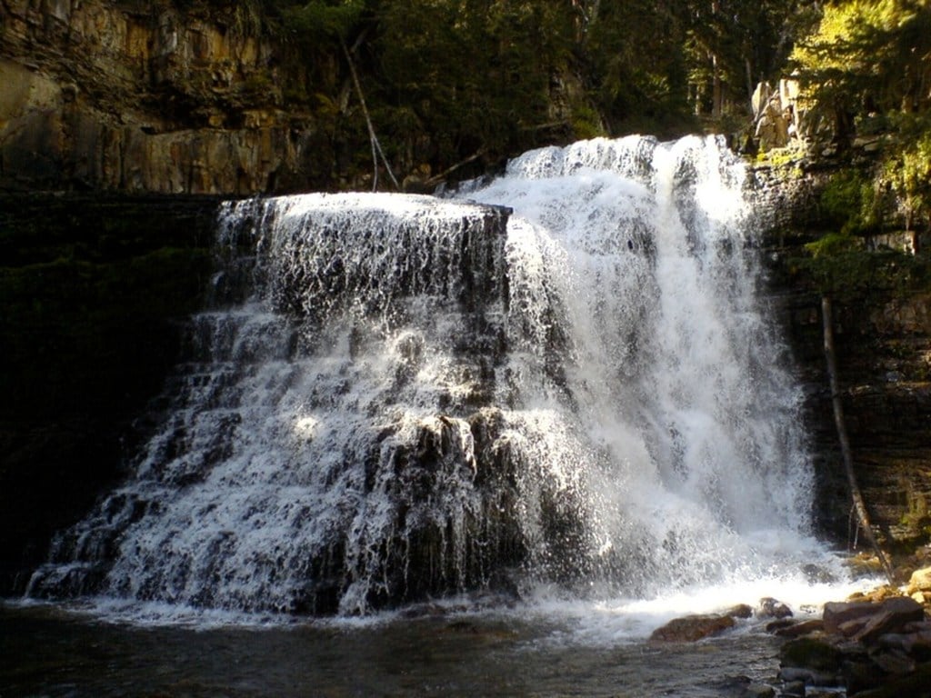
If you’re yearning to get outside on a warm summer day, head to this trail outside of the town of Big Sky. The shady path along the South Fork West Fork Gallatin River stays cool, making it a refreshing place for a walk, especially if you have a few wee ones in tow. Kids and bird fans will enjoy watching American dippers, which make their home along the river, popping in and out of the water. However, it’s the 100-foot-tall Ousel Falls that’s the real attraction along this route, especially when snowmelt ramps up its flow in early summer. Wildflowers and pleasant temperatures are also a draw in summer, though the trail is open year-round. If you hike the route in winter, you can enjoy the icy spires of the cascade.

Ousel Falls (Photo Credit: Brandon Schauer under CC-BY-SA 2.0)
Holland Falls National Recreation Trail
- Location: 77.1 miles northeast of Missoula
- Length: 3.4-mile out-and-back
- Difficulty Rating: Intermediate
- Best For: A lakeside trail with views
- Dogs: Leashed
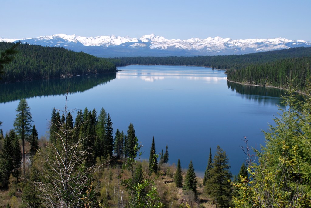
Though Holland Lake’s crisp, clear waters may beckon as you hike this National Recreation Trail in the Flathead National Forest, it’s worth pushing on as the best is yet to come. There’s a bit of a climb near the eastern end of the lake, but tackling it leads you to Holland Falls and an amazing view of the lake and the Mission Mountains. A great option any time of year (just come prepared if it’s winter), this well-marked trek has become a popular stop for all types of hikers thanks to its easy access from the Holland Lake campground and recreation area. Plus, if you snag a tent site, you can cap off your day by watching the sunset over the lake.

Holland Lake Overlook (Photo Credit: U.S. Department of Agriculture under CC-BY 2.0)
Avalanche Lake via Trail of the Cedars
- Location: 49.3 miles northeast of Kalispell
- Length: 6.2-mile out-and-back
- Difficulty Rating: Intermediate
- Best For: Awe-inspiring scenery via an easy trail
- Dogs: No dogs
If you’re headed to Glacier National Park and looking for an easier adventure, Glacier Cedar Forest and Avalanche Lake are two of the park’s most popular destinations, and you can hit them both in one go. The hike starts on the wheelchair-accessible Trail of the Cedars, a boardwalk that leads through an old-growth forest. From there, continue up the drainage of Avalanche Creek to reach its namesake lake where thin waterfalls pour down the cirque into the valley. Keep hiking along the shore for the best chance to snag a private lunch spot where you can refuel.
Iceberg Lake Trail
- Location: 47.5 miles northwest of Browning
- Length: 9.8-mile out-and-back
- Difficulty Rating: Intermediate
- Best For: A beautiful trek through Glacier National Park
- Dogs: No dogs
Iceberg Lake is one of the most popular destinations in Glacier National Park, and once you reach it, you’ll see why. The icy, blue water is often dotted with small icebergs early in the hiking season, and its shores are hemmed in by the cliff walls of the cirque in which it sits. That view alone is worth the 5-mile hike in, but if you’re looking to add on a little extra adventure, you can also visit Ptarmigan Tunnel. Originally constructed in 1930 to ease access to the difficult terrain beyond the mountain pass, the tunnel continues to be the best way to snag views north of the ridge, including Elizabeth Lake. (Beware: The tunnel is closed in winter months.) Just keep in mind, this detour adds a little more than 5 miles to your trip, so plan for a full day out.
Hyalite Peak
- Location: 21.5 miles south of Bozeman
- Length: 14.7-mile out-and-back
- Difficulty Rating: Intermediate
- Best For: A long day full of adventure
- Dogs: Leashed
Be sure to take time to appreciate the waterfalls and wildflowers along this out-and-back, which follows the lively Hyalite Creek. While most of the hike isn’t too difficult, there are a few short switchbacks to navigate as you head above treeline and the views open up. The last section on the way to the summit of Hyalite Peak gets a bit steep and rocky, but the views are expansive. If you’ve planned on a night or two out, go ahead and carry on exploring, otherwise, head back the way you came. Hyalite Lake is an ideal place to eat lunch and dip your toes on the way out.
Lava Lake Trail
- Location: 27.8 miles southwest of Bozeman
- Length: 5.7-mile out-and-back
- Difficulty Rating: Difficult
- Best For: A summertime workout
- Dogs: Leashed
This out-and-back makes for a great workout. The trail is well-shaded and runs along Cascade Creek for its entire length, so you’ll stay cool while you make your way into the Lee Metcalf Wilderness. The wide trail allows hikers to move at their own pace, so it’s easy to navigate around slower parties or to take a breather. Lava Lake is nestled below several 10,000-plus-foot peaks. Take a swim, do a little fishing or simply enjoy the views. Bonus: If you’re looking to do an overnight, there are a few wooded campsites to choose from.
Grinnell Glacier
- Location: 20.4 miles northwest of St. Mary
- Length: 10.3-mile out-and-back
- Difficulty Rating: Difficult
- Best For: Iconic Glacier National Park scenery
- Dogs: No dogs
Despite a difficult hike, Grinnell is one of the most popular sights in Glacier National Park, and as such, it will likely be crowded. With points of interest along the entire trail, you can turn back at any time and feel accomplished, but the views of the valley get better the farther you hike. The trail winds along Swiftcurrent Lake and Lake Josephine before ascending out of the forest. As you climb, Grinnell Lake pops into view, cheering you on. Ringed with wildflowers and brick-red cliffs home to mountain goats, the power-blue water seems of another world. The valley walls grow as you make your way to the cirque, where the remains of Grinnell Glacier still feed the frigid waters of Upper Grinnell Lake.
Sky Rim
- Location: 30.4 miles north of West Yellowstone
- Length: 19.4-mile loop
- Difficulty Rating: Difficult
- Best For: A backpacking trip through amazing terrain
- Dogs: No dogs
Most folks who visit Yellowstone head straight for the geysers, leaving this remote trail open for more intrepid backpackers. It starts as a steady, mellow climb, but once you gain the ridgeline, the path undulates as all the way to the summit of Big Horn Peak. Keep your eyes peeled for wildlife: Goats, elk and deer are common, and this is bear country, so you might consider carrying bear spray. Though the terrain is rocky and you’ll need to watch your footing, remember to look up. The views of the surrounding peaks deserve your attention.
Trespass-Sweetgrass-Cottonwood Loop
- Location: 50.2 miles northeast of Bozeman
- Length: 23.1-mile loop
- Difficulty Rating: Difficult
- Best For: A rugged and remote backpacking trek
- Dogs: Leashed
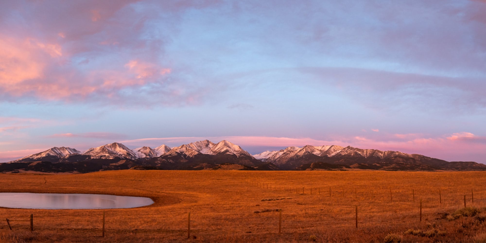
This hike includes everything you could want in a backpacking adventure; mountain passes, creek walks, lakes, wildlife, views and even a few small glaciers. You’ll mostly stay low in the valleys as you follow creeks through the Crazy Mountains range, but don’t be fooled—there’s nearly 7,000 feet of elevation gain along the route. There are plenty of campsites to choose from and numerous lakes to stop by for snack breaks. Nestled below a few glaciers to the south and Conical Peak to the north, Glacier Lake is a particularly lovely spot. Be sure to hike up Conical Peak to soak in the views of the Crazies before continuing your trek.
