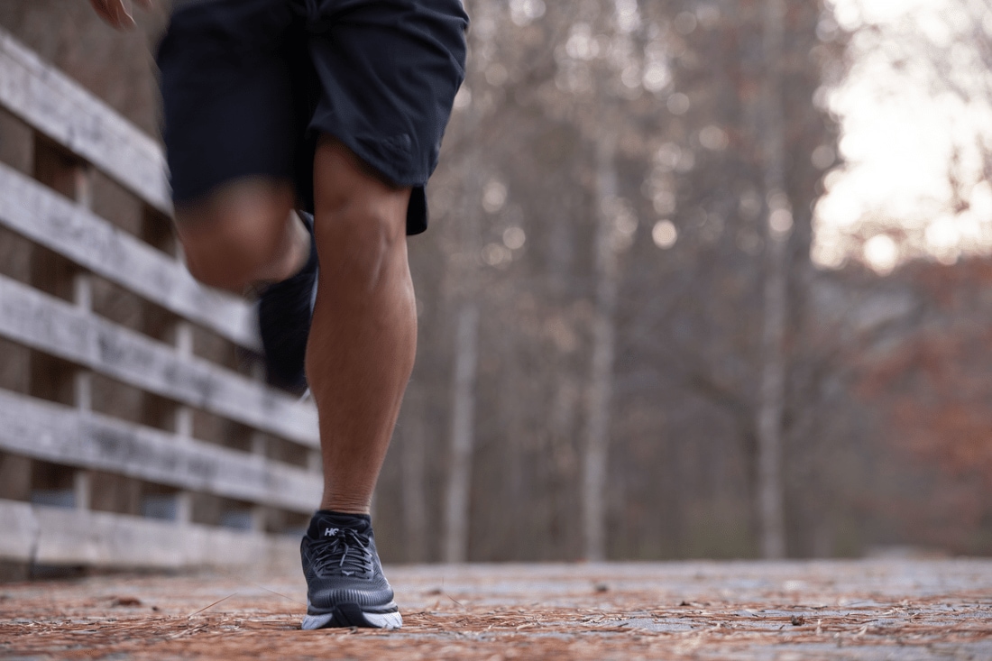
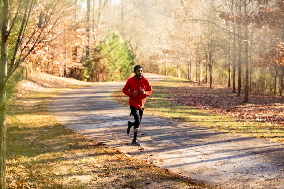
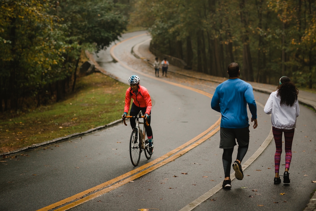
Urban running is an increasingly familiar concept, especially in the active city of Atlanta. Its many months of warm weather encourage a longer running season, and the swathes of verdant greenery that ribbon through the city are a constant lure outside. Even better, this enormous hilly metropolis holds countless hidden streets, unique neighborhoods, intriguing forks in roads, and glorious parklands and paved trails that make it so that runners never have to repeat a route … unless they want to. There’s simply always something to run toward. These paths, parks and trails, scattered in and around town, are great places to start exploring.

Atlanta Eastside Beltline Trail
- Location: Midtown Atlanta
- Run Type: Flat paved trail
- Length: 3 miles
- Best for: Agility runs, scenic runs, people-watching
- Dogs: Allowed on-leash
It’s impossible to talk about urban running in Atlanta without mentioning the city’s most ambitious project — an elevated paved trail that is planned to one day circle 33 miles around the heart of the city. The Eastside trail is the first finished section of the Atlanta BeltLine in the old rail corridor, and, from north to south, connects the tip of Piedmont Park to Reynoldstown. Along it are grandiose art installations and stunning murals, all of which contribute to the BeltLine’s status as one of the largest temporary outdoor art exhibitions in the South. There’s also walk-up access to Ponce City Market and Krog Street Market, along with plenty of restaurants and bars to give runners the chance to catch their breath and sip a cold beverage.
These attractions speak to crowds of leisure walkers, too, so be prepared to dodge scooters, strollers, and bikes, as well as dogs that are just as excited to be outside as their humans. To avoid frustration, consider the Eastside Betline Trail an obstacle course — an opportunity to work on quick feet, focusing more on agility than speed.
Piedmont Park
- Location: Midtown/Virginia Highlands
- Run Type: Flat paved trail
- Length: 2-5 miles
- Best for: Layering distance, people-watching, city views
- Dogs: Allowed on-leash
Running the loops in Piedmont Park is a great way to design your own adventure, with four in-park routes that let runners build up as their endurance and ambition allow. Most start at the Active Oval, a half-mile former racetrack that surrounds sporting fields. Feed off the high energy here to make your run great. To go the distance, break off and circle the human-made Lake Clara Meer and its nature-made ducks, then continue with a loop around The Meadow or Oak Hill. For the largest loop of all, runners can simply orbit the perimeter of the 180-acre park.
As mentioned, the BeltLine intersects the park at 10th Street, providing another break-off option. The streets around Piedmont Park are serene and lovely as well, taking runners into Ansley Park to the west, Virginia Highland to the east, and the heart of Midtown to the south and southwest.

PATH400
- Location: Buckhead
- Run Type: Paved trail
- Length: 3.6 miles
- Best for: Concrete jungle vibes
- Dogs: Allowed on-leash
PATH400, like many of the paved trails in Atlanta proper, is under construction with plans for expansion. It’s the first part of the Buckhead Collection and will be a 5.2-mile greenway through Buckhead. When completed in its entirety, it will connect 106 acres of parks and trails through Atlanta, Sandy Springs and Dunwoody.
For a while, it was a 2-mile jaunt as interspersed with trees as it is surrounded by concrete below, above and beside it. Set parallel to the GA400 highway it’s named for, it’s a lovely stretch of smooth paved trail crisscrossed by raised Marta train tracks overhead and along or above the bustling highway in turns. The recent completion of the Miami Circle to Lenox Mall section now adds another 1.6 miles, making it a visually and aurally stimulating path as greenery is juxtaposed against industrialization. Runners can pick it up from the southernmost point at Piedmont Road at Adina Drive Access Point, where there is on-street free parking. While there are access points farther north, the two ends are not yet connected.
Peachtree Creek Greenway
- Location: Brookhaven
- Run Type: Paved trail
- Length: 1.3 miles
- Best for: Linear sprints/laps, night runs, quiet runs
- Dogs: Allowed on-leash
Short but sweet indeed, this trail offers a serene and safe spot for nighttime runs or sprints. Its current 1.3 miles is set up as a modern model from which all future Atlanta trails ought to be built, designed wider than the previous standard and offering enhanced safety features such as bright lighting and cameras with a direct link to aid. These features have made it possible for the park’s trail hours to extend to 11 p.m. Meanwhile, the peaceful sound of the flowing creek below can help runners focus on the nature around them, and the greenery dampens city sounds.
Additional features include three trailheads with plentiful free parking, amenities such as bike repair and dog waste stations and art installations. Altogether, this is a mini connector that will one day be mighty, planned to run alongside the North Fork Peachtree Creek and connect Atlanta, Brookhaven, Chamblee, DeKalb and Doraville by way of PATH400 and the Atlanta BeltLine. It’s a trail local runners can grow with as it builds toward its final form as a 7-mile path with three end fork options to the north.

Cochran Shoals Trail
- Location: Cumberland
- Run Type: Gravel path, boardwalk
- Length: 3.1 miles
- Best for: Trail runs, scenic runs, race training
- Dogs: Allowed on-leash
This level, scenic and immensely popular trail is beloved for its great views of marshland habitats … and the fact that it’s the perfect distance to train for a 5K. Part of the Chattahoochee River National Recreation Area, like its fellow trails, this one winds around its banks. A lovely boardwalk changes up the terrain and gives dogs a break from the gravel (they’re common companions to many of the runners who frequent the preserve). A good starting point is the southern trailhead — it offers opportunities to fork off if the 5K route feels too crowded. You can park for a fee at the Cochran Shoals Unit; however, if you have a national park pass like America the Beautiful, it’s free.
Freedom Park Trail
- Location: Poncey-Highland
- Run Type: Linear paved trail
- Length: 2.5 – 8 miles
- Best for: Greenery, route variations
- Dogs: Allowed on-leash
Atlanta’s largest linear park and designated Art Park is also one of the city’s best runs, with multiple ways for runners blaze their own custom trail. There’s the 2.5-mile paved Freedom Parkway Trail that ties together landmarks commemorating two Nobel Peace Prize winners — the Martin Luther King National Historic Site and the Jimmy Carter Presidential Library and Museum. There’s also a 3.6-mile loop that starts at the library and goes to Candler Park. Between those are eight miles of general paths across a brightly emerald space and a section that overlays the first completed section of the Atlanta BeltLine.
Weekend morning runners can refuel at the year-round Freedom Farmers’ Market, which is considered among the city’s best and is open every Saturday from 8:30am to noon. However, the park closes at sunset and there is no on-site parking, so runners should factor that in their plans.
Chastain Park Trail
- Location: Buckhead/Sandy Springs
- Run Type: Paved trail
- Length: 5 miles
- Best for: Classic park runs
- Dogs: Allowed on-leash
Part of the PATH Foundation’s collection of trails across metro Atlanta, this loop bounding one of the city’s most residential, popular parks is always sprinkled with locals. Located in a neighborhood of beautiful homes, the scenery is as pleasant outside the park as within. Pedestrians, cyclists and dog walkers are common sights, but they tend to be watchful of runners, readily sharing the space.
Three color-coded loops guide runners to a 3K trail — the gold — and two 5K trails, which PATH formally counts as a 5-mile total. The latter two, the red and blue trails, are mostly the same for the majority of the route, but runners should follow the markers anyway to discover the best corners of this park. These include the horse park, the amphitheater, a bridge over Nancy Creek and thoughtful landscaping that makes it a pleasure to run.

Grant Park
- Location: Grant Park
- Run Type: Paved trail, street
- Length: 3–6 miles
- Best for: Architecture and history buffs
- Dogs: Allowed on-leash
Grant Park is the oldest city park in Atlanta and home to Zoo Atlanta, but the beautiful neighborhood that surrounds it is equally inspiring for runners. Victorian mansions and Craftsman bungalows line the streets to please runners who enjoy the aesthetic of unique homes. Others may prefer to make their way to the peaceful Oakland Cemetery park, a popular Pokémon GO spot and where writer Margaret Mitchell is buried. With so many different scene changes, runners can mix and match as they like.
The perimeter of the park provides a solid 3-mile course, but layering on distance is easy here. Starting from Boulevard SE, continuing north past I-20, takes runners directly to the cemetery, where they can follow Memorial Drive SE before heading back down south on Cherokee Avenue SE to close the park loop at Atlanta Avenue SE. However, an infinite amount of mileage can be added by jumping onto the many trails that crisscross through the park, working one’s way through the cemetery or discovering side streets, since they’re more grid-like than many other residential parts of the city.
Downtown Tour
- Location: Downtown
- Run Type: Urban street
- Length: 6–7 miles
- Best for: Sightseeing, big city feel
- Dogs: Allowed on-leash
There’s no better way to explore a city than on foot, making this route a must for runners visiting Atlanta. The high concentration of attractions around this route’s starting point at Centennial Olympic Park makes it an exciting run from the get-go, looping around the World of Coca-Cola, the National Center for Civil and Human Rights museum, the CNN building, the Skyview Atlanta giant Ferris wheel, the Georgia Aquarium and the College Football Hall of Fame. From there, we recommend turning south onto Walker Street, past the State Farm Arena and the Mercedes-Benz Stadium. This is a good spot to turn around on Andrew Young International Boulevard NW, which hugs the State Farm Arena and passes The Home Depot Backyard.
Alternatively, for a more in-depth self-guided tour, runners can stay on Walker until they reach the Castleberry Hill historic neighborhood, where the intersection with Peters Street SW to Ted Turner Drive will return them to where they started.

Midtown Tour to Georgia Tech
- Location: Midtown
- Run Type: Urban street
- Length: 4.5 miles
- Best for: Sightseeing, big-city feel
- Dogs: Allowed on-leash
So much of Midtown can be discovered just along Ponce de Leon Avenue … but for something different from this tried-and-true thoroughfare, runners can run Peachtree Street starting from the North Avenue Marta Station, just a couple of blocks from The Original JR Crickets and a few more blocks from the historic Mary Mac’s Tea Room. Heading toward that tea room shoots runners to Ponce; instead, we suggest taking Peachtree north to see the Margaret Mitchell House (where the author wrote most of Gone with the Wind) and the famous Fox Theatre. Runners who keep going will reach trendy Colony Square, a mixed-use complex that’s fun to explore. This is a good place to turn around, though ambitious runners could aim for The Woodruff Arts Center or High Museum of Art before looping back.
To head back, runners should make a left at any point to hit West Peachtree Street (different from the starting Peachtree — there are several streets of that name across Atlanta!) and another left to go south until the route intersects with 5th Street. Crossing over I-85 changes the pace to drop runners in the heart of Georgia Tech’s Greek Sector and its impressive fraternity and sorority houses.. This turns into Ferst Drive, which then loops around the entire campus, allowing you to add on miles if you opt to crisscross into it instead of going around the perimeter. Staying on course ends that segment at Cherry Street NW, where hanging a left onto North Avenue NE, past Atlanta icon The Varsity, ends the run back at the Marta station.
The Battery Atlanta Walking Trail
- Location: Cumberland/Smyrna
- Run Type: Paved trail
- Length: 1.5 miles
- Best for: Baseball fans, run and relax
Dogs: Allowed on-leash
Truist Park, the home of the Atlanta Braves, is more than just a baseball stadium. It’s a live-work-play-stay complex with so much activity at its many retailers and residences that it’s a destination for locals even outside of game day and concerts. A recently built, well-maintained trail encircles this contemporary village and offers impressive views of the ballpark and its many architectural features. Best of all, parking is plentiful, with three garages (red, green and purple) that offer three hours free on non-event days, allowing runners to take their time and rack up laps.

Historical Marietta
- Location: Marietta
- Run Type: Residential
- Length: 6–8 miles
- Best for: Architecture, Civil War history buffs
Dogs: Allowed on-leash
The historical center of Marietta, a former rail town just minutes north of Atlanta, is a delightful suburban running course. Parking at the Marietta Square Market food hall allows runners to hit part of the Mountain-to-River Trail with several options to branch out.
A quick circuit of the charming square is a great warm-up for runners before they hit their stride in the residential historic district Kennesaw Avenue. Heading north, you’ll find that grand mansions and whimsical cottages — most with historical home placards on front lawns — line the street. This street leads to highly hikeworthy Kennesaw Mountain National Battlefield Park, an important Civil War site. Here, runners may be tempted to make it a loop by turning onto Old 41 Highway NW to get to the Church Street Extension, but this would be a mistake as there is no scenery nor sidewalk here. Instead, we advise coming back down to make a left onto Tower Road to Church Street, a National Register Historic District. This route ends in the center of Marietta Square.
Column Drive, Chattahoochee Plantation
- Location: Chattahoochee Plantation
- Run Type: Residential Street
- Length: 2.7–4.5 miles
- Best for: Architecture, home design enthusiasts
Dogs: Allowed on-leash
Column Drive is a local’s secret, and those who love to ogle mega-mansions while running never get tired of this challenging neighborhood hidden near the Chattahoochee National Recreation Area. Park at the Johnson Ferry South side of the area and follow Column Drive the 2.7 miles to the dead end of the Cochran Shoals – Columns Drive parking lot. Continuing into the preserve leads to trails just north of Cochran Shoals and connections to Sope Creek Trail if runners want to blend a street and trail run.
For those seeking an endurance and strength challenge, it’s better to detour with a right turn onto Atlanta Country Club Drive and its steep inclines before reaching the end. This option’s 4.5 miles will feel like significantly more. Paper Mill Road marks the end of this difficult, estate-peppered road; more manors lie ahead upon turning right to head toward the Paper Mill Village shopping center. From here, it’s an easy distance to Johnson Ferry Road and the parking lot.

Silver Comet Trail
- Location: Smyrna, Mableton, Powder Springs
- Type: Paved trail
- Length: 9.5 miles
- Best for: Steady scenery, focused runs
- Dogs: Allowed on-leash
The entirety of the Silver Comet Trail is 61.5 miles, starting from the Mavell Road Trailhead in Smyrna and ending at the Alabama state line. Its pristinely paved path and linear route make it a favorite among bikers, who share the road nicely with the many runners and walkers along the route.
Even though the Silver Comet is already a bit out of town, runners should continue west. There, they can discover parks with trails and features such as an elevated boardwalk over wetlands, Nickajack Creek trails, the ruins of Concord Woolen Mills, and the historic Concord Covered Bridge. To turn a run into a full-body workout, we recommend picking up the trail close to mile marker 9.5, right before Powder Springs, where an impressive outdoor fitness circuit and stunning playground dominate the Silver Comet Linear Park.
