Minutes after beginning the descent into an 800-foot canyon that’s home to Big Jacks Creek, a piercing rattle forced Jason “Ras” Vaughan to freeze. He could see the snake curled between rocks only a few feet ahead. Up on the ridge his wife, Kathy Vaughan, was waiting to find out if there was a safe way down to the river—this was the only water source around for 22 miles. Surrounding Ras was only more scree, so he yielded to the rattler, opting to find another way as a thunderstorm approached.
“It was an intense moment, but in moments like that, you’re so alive,” says Ras, a 47-year-old who lives with Kathy, 52, on Whidbey Island near Seattle. “The sage smelled incredible. There were lightning flashes that were blinding us.”
That was only 53 miles into their trip that they have dubbed the UltraPedestrian (UP) North Loop—a 2,634-mile circuit that strings together the Pacific Crest, Pacific Northwest, Idaho Centennial and Oregon Desert trails. The stretch with Big Jacks Creek wasn’t a trail at all, but a route through the backcountry that the Vaughans charted to link the Idaho Centennial Trail with the Oregon Desert Trail. That meant bushwhacking through sagebrush, navigating with a GPS or map and occasionally tackling surprise terrain features on the fly.
“The fact is, no matter how well you plan this out, things are not going to go according to plan,” Ras says. “Being able to improvise solutions when that happens is the main skill set that you need to do something like the UP North Loop.”
After enduring the storm that night, Ras and Kathy found a safe route to Big Jacks Creek, then continued on to Oregon. The duo completed the loop on November 5, 2018, after starting on May 14, and were the first to hike the trail. These sorts of trips are becoming increasingly common as the U.S.’s established long trails become overcrowded, Kathy says, adding that some long-distance hikers are looking for another challenge—and some solitude.

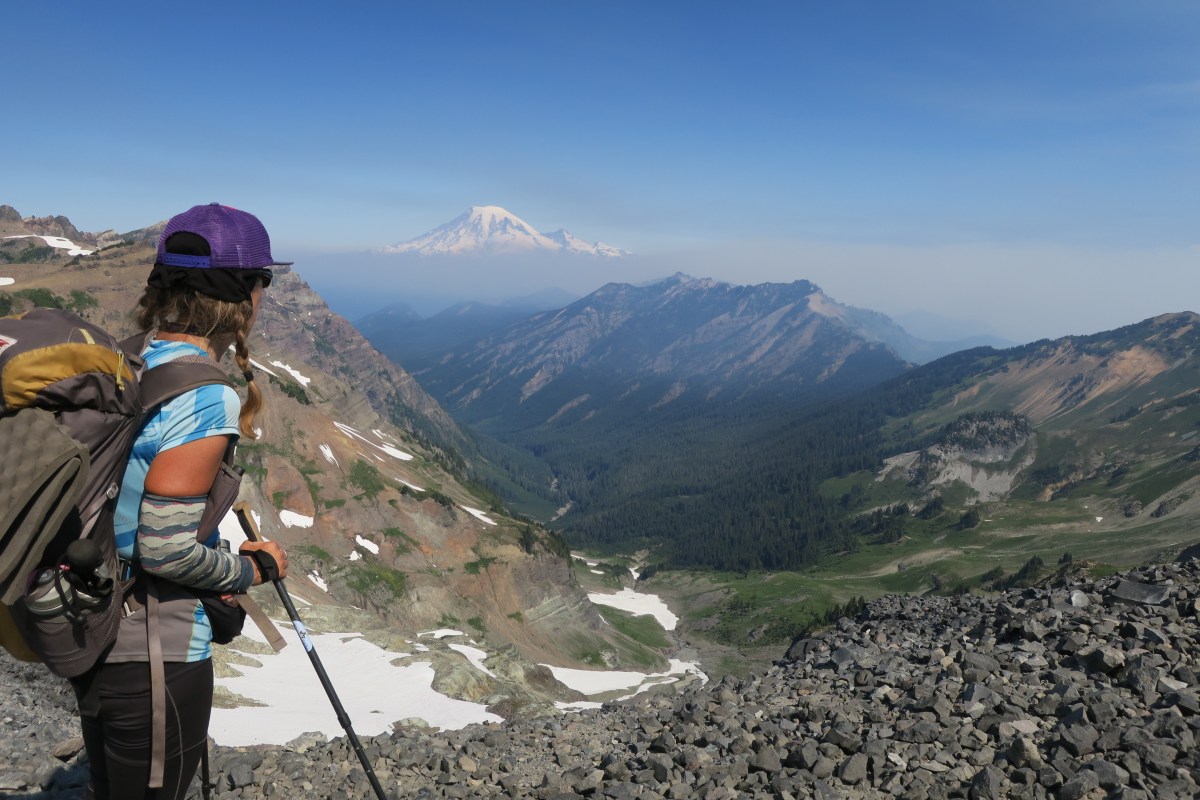
Kathy, Pacific Crest Trail, Oregon. Photo Credit: Ras Vaughan for UltraPedestrian.com
What is a new route?
While trails are existing pathways, typically mapped, blazed and easy to follow, routes are unmarked and undefined. “A route, you have to do all of that homework yourself,” says Renee Patrick, the Oregon Desert Trail coordinator with the Oregon Natural Desert Association who mapped out portions of the UP North Loop for the Vaughans. “You have to be aware of where am I now on the map, where am I going, what makes sense between my point and my destination. You look at the terrain and you see what’s the path of least resistance in the terrain.”
Patrick says that for those with navigation skills and an extensive backcountry résumé—backpacking or hunting—creating a thru-hike can be a rewarding experience. Plus, it’s an opportunity to get away from the crowds and test one’s limits in a different way than an established long trail.
Identify a route
After looking at a map of the U.S.’s long trails, the Vaughans noticed existing ones that could be strung together—which morphed into the UP North Loop. That’s where they recommend starting to plan for a new route: search for pathways that may intersect. On established trails, most of the planning involves typical thru-hiking preparation, like searching guidebooks or the internet to identify water sources and resupply points. It takes even more planning to connect routes between trails.
With an expanse of backcountry to dissect, the Vaughans used Google Earth to identify terrain features and water sources, and then apps like CalTopo or Gaia GPS to route potential paths. Further reconnaissance included reaching out to people, like Patrick, who are familiar with a region’s terrain. The Vaughans also talked to as many locals as possible throughout their trek. “They were a huge resource,” Kathy says. “They gave us so much information about trails that we could take or ways we could walk to our next destination.”
It’s also important to know who owns the land the route will trace through, says Andrew Skurka, who has thousands of miles of route hiking under his belt from journeys like the Great Western Loop that covers almost 7,000 miles across the western U.S. Public land is the obvious first choice. He says this is where navigation apps, like those above, that show land ownership come in handy. But at times Skurka says there’s no viable pathway using public property, leaving a road as the only legal, public option.
In a pinch, private property can offer a path forward, Skurka says. “I remember being in a town in eastern Montana called Winnifred,” he says. “I needed to get across private property to get to my next town. There was no public land access. So, the guys in Winnifred knew the landowner. And I called up to ask the landowner for access and the guy said, ‘Sure, no problem.’”
Find water and resupply points
Water is a huge concern when route planning and most sources you’ll have to find yourself. In arid areas, Patrick says, hikers must get creative to find water. “That’s where I actually found Google Earth was incredibly helpful,” Patrick says. “I was even able to see individual cows on the satellite imagery. You can trace a cow path and the cows almost always go to water.”
Even if you find a promising watering hole, there’s no certainty that water will be available year-round. So, Patrick says to carry more water than you think you’ll need, especially in dry regions.
When it comes to resupplies, the Vaughans had to hitchhike or road walk into small towns, often in remote areas where locals weren’t accustomed to catering to thru-hikers. That meant there were few serendipitous ice chests full of food and soda left by compassionate strangers like you’ll find trailside on the Appalachian Trail, called trail magic, or businesses offering discounts to hikers. They mailed food ahead, around 150 to 200 miles apart. “Once we were actually on the route, we fattened that up by buying additional supplies in towns and we went to a number of trail towns we had not planned on visiting simply because we wanted a little taste of civilization,” Ras says.

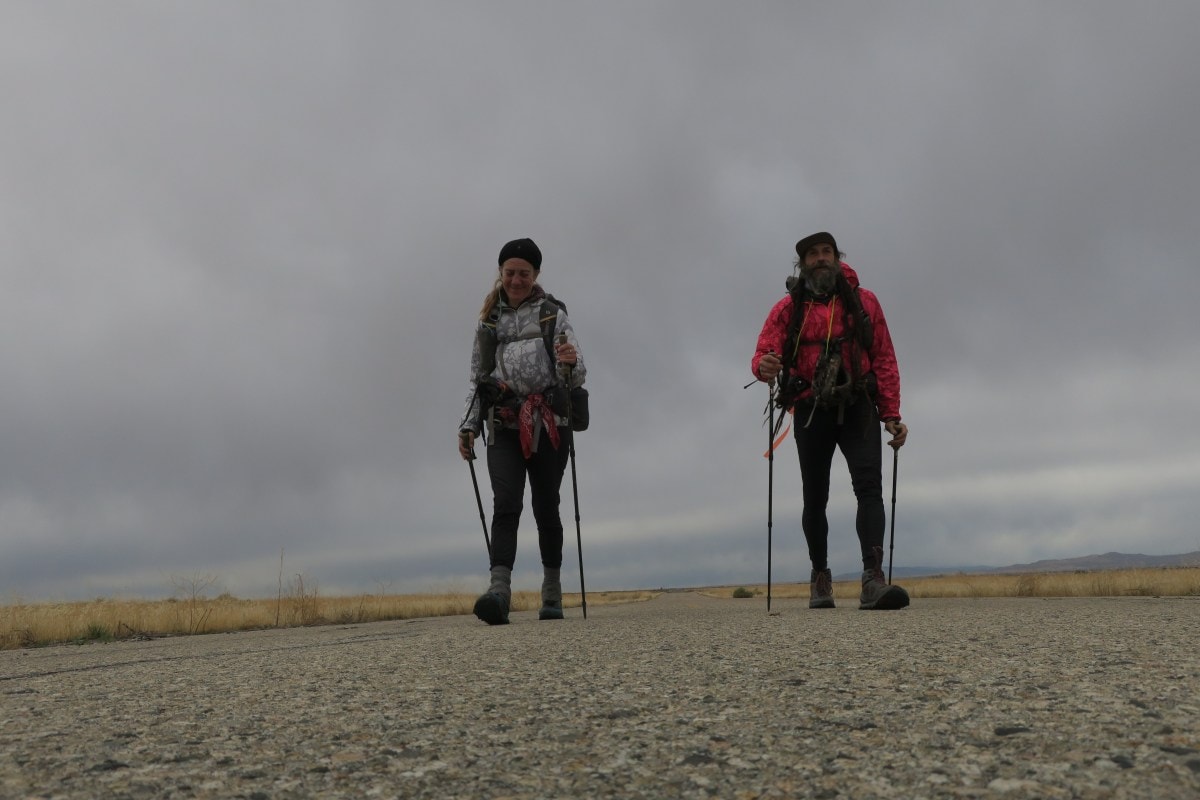
Kathy and Ras, abandoned road east of Boise, Idaho. Photo Credit: Ras Vaughan for UltraPedestrian.com
Know how to read a map
The Vaughans navigated mostly with their phones using GPS apps that had the route planned out, often with overlays containing topographic features and delineating public land. “We do like having a standalone GPS that’s separate from our phones, separate from anything else,” Ras says. “So that energy and the batteries in that are specifically allocated to navigation.”
But cell service can be spotty in remote areas, and GPS batteries can die unexpectedly. That makes a topographic paper map an invaluable resource, alongside a compass and altimeter for mountainous terrain. “You need to be able to figure out what the ridges mean, whether it’s showing you a canyon or a mountain ridge,” Ras says. “And to be able to look at the real world in front of you and see those features and connect them to the map in your hand, whether it’s a paper map or it’s on your phone.”
For those who have never used a topo map before, Ras says there’s no better practice than practicing in the backcountry—keep close to home and bring a GPS to keep you oriented. “You’d be surprised at how quick your learning curve can be under those circumstances,” he says. “Especially if you do something like climb a 2,500-foot ridge that you don’t need to climb.”
Be prepared
First-aid knowledge, as well as a solid kit to help with minor scrapes and injuries, is a great resource. Kathy recommends Wilderness Medicine Courses as the best tool against a life-threatening situation. Not only will a certification give you resources to navigate a medical issue in the backcountry, but it will provide insight into preventative measures like not getting too sweaty when trekking through the cold. “We did a lot of night hiking so that we could move efficiently through the desert when it was cooler,” she says.
Ras says although the challenges of route hiking are plenty, it’s never been easier to explore the nation’s natural wonders off-trail. “There are so many amazing things left to be done and all these new technologies now make it possible in a way that it wasn’t even a few years ago,” he says. “It’s a pretty amazing time to be a long-distance hiker … there are almost endless possibilities out there.”
