Following the edge of the glacier that covered much of Wisconsin during the Ice Age, this 1,200-mile trail winds from Sturgeon Bay in Door County to St. Croix Falls in Polk County. And today, you’re much more likely to view a moose than a mammoth.
Distance: 1,200 miles
States: Wisconsin
Year Established: 1980
Best Times of Year to Visit: Spring, fall and winter

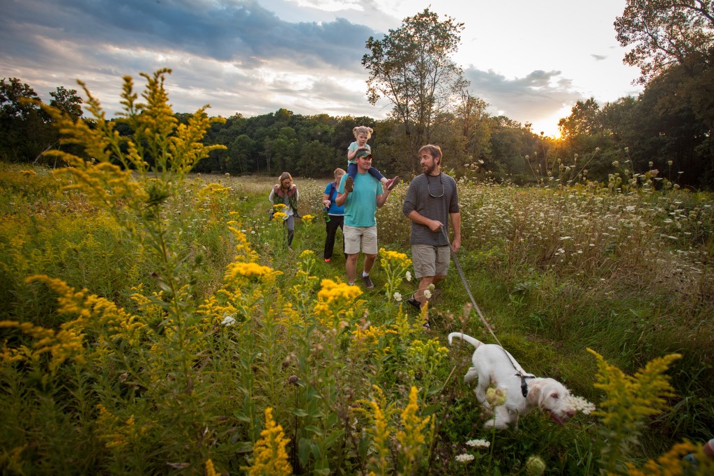
Table Bluff Segment, Dane County. Photo courtesy of Cameron Gillie.
Notable Spots Along Trail:
- Experience boulder trains—lines of rocks deposited by a glacier—and boardwalks at Plover River, near Wausau.
- Discover the St. Croix National Scenic River in Interstate Park, the western terminus, just one hour northeast of the Twin Cities.
- See world-renowned glacial features at Kettle Moraine State Forest, offering 100 miles of trail paralleling Lake Michigan.
Fun Facts, According to the Ice Age Trail Alliance:
- The trail is not yet complete. Just over 600 miles are yellow-blazed Ice Age Trail segments, while more than 500 miles of unmarked routes link the blazed segments.
- The highest point on the trail is Timm’s Hill, at 1,951.5 feet.
- More than 1 million people use the Ice Age Trail each year to hike, snowshoe and backpack.
Trail Uses: Hiking, snowshoeing, trail running and cross-country and backcountry skiing. The trail occasionally coincides with state bike trails, but biking is allowed only on these overlapping sections.

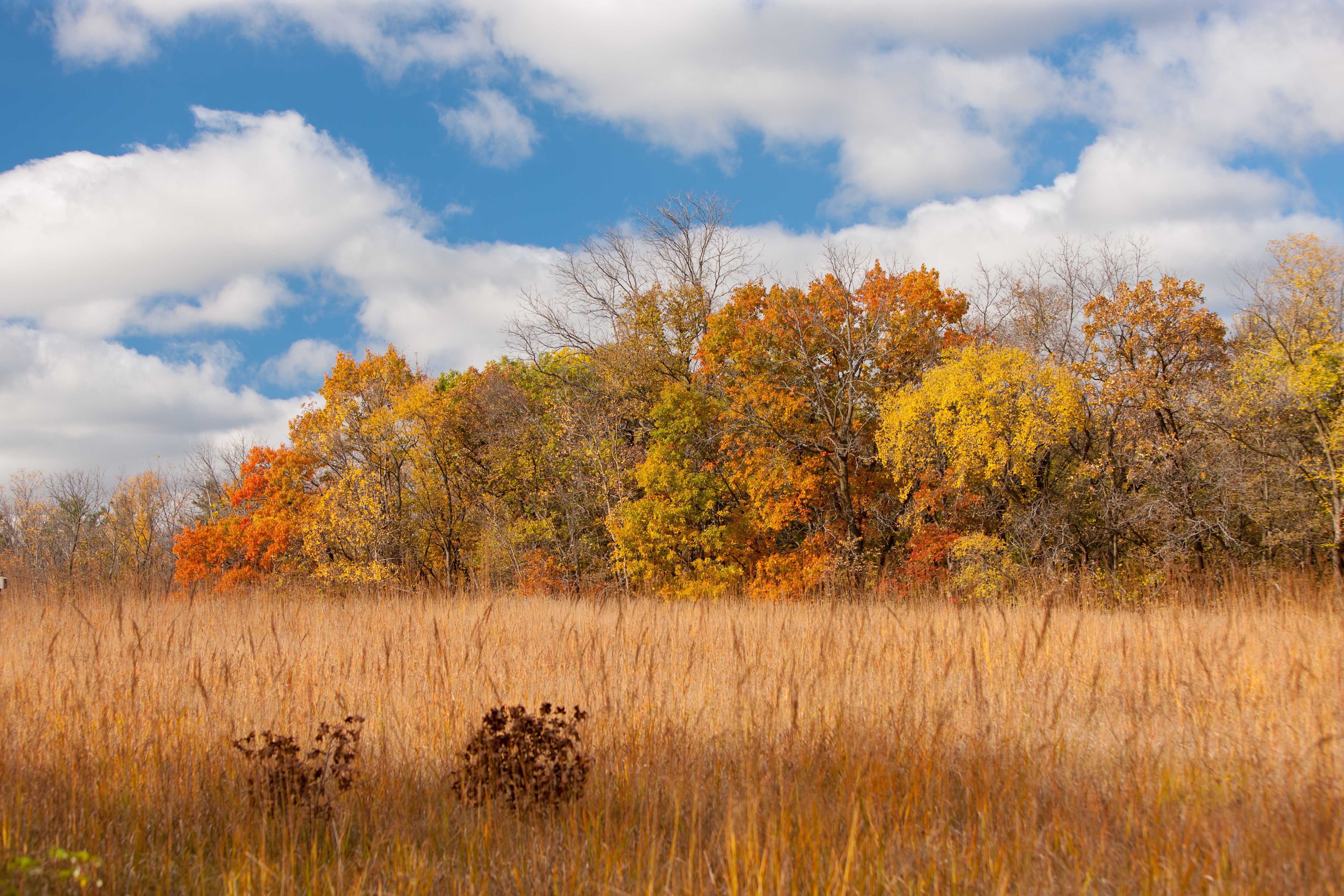
Point Beach Segment, Manitowoc County. Photo courtesy of Jeana Church.
Administering Agency: National Park Service
Nonprofit Partner: Ice Age Trail Alliance
Permitting Information: The shelter system in the Kettle Moraine State Forest requires a permit.
REI Stewardship: The co-op has invested more than $204,000 in the Ice Age Trail since 2004.
Read More:
Learn more about all of our national scenic trails.


