Despite its reputation for urban sprawl, greater Los Angeles is actually a hiking hotbed. From on-trail views of iconic landmarks to stunning waterfalls to rugged summits, hikers of all abilities have plenty of opportunities to get out of the city and explore. We’ve compiled a list of some of the top hikes in LA. While this list is a great place to start, it only scratches the surface of what LA has to offer.
Hollywood Reservoir Loop
- Location: Universal City, 9.4 miles northwest of downtown LA
- Length: 3.4-mile loop
- Difficulty Rating: Easy
- Best For: A mellow walk with iconic views
- Dogs: No dogs
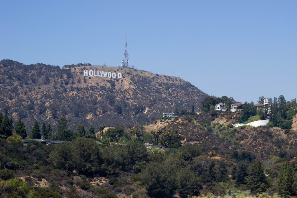
Ignore the intimidating gate at the trailhead—the flat, paved Lake Hollywood Trail, which circles its namesake reservoir, is actually open to the public. This loop is a great way to stretch your legs and escape the hubbub of city life—though with the Hollywood sign looming overhead and downtown LA sprawling out beyond the Mulholland Dam, you’ll never forget where you are. With runners and families taking advantage of its convenient location, it’s unlikely you’ll have the path to yourself. Despite the company, it’s still a pleasant morning or evening stroll. The trail is generally wide, and the abundant trees mean plenty of shady spots to cool off. Just don’t plan on a swim: The manmade lake is part of the city’s water supply, and a chain link fence prevents any side trips down to the shore.

Sturtevant Falls
- Location: Arcadia, 22.3 miles northeast of downtown LA
- Length: 3.4-mile out-and-back
- Difficulty Rating: Easy/intermediate
- Best For: A family-friendly trek to a popular waterfall
- Dogs: Leashed
Don’t let the jam-packed parking lot discourage you; there’s a reason this hike in Big Santa Anita Canyon is so popular. The trail is easy, and the 50-foot-tall waterfall, which cascades over verdant, moss-covered rocks, is a sight to behold. Although the route starts with little protection from the sun, the road is paved, and there are plenty of benches for a quick break. Then at Robert’s Camp, a series of cabins along the Big Santa Anita Creek, you’ll turn onto Gabrielino Trail where you’ll stay nice and cool as you follow the stream. Water spills over the occasional man-made dam, and the narrow singletrack stays along the bottom of the lush, forested canyon all the way to Sturtevant Falls, where you can take a dip in the small pool at its base.
Solstice Canyon Loop
- Location: Malibu, 31.5 miles west of downtown LA
- Length: 2.9-mile loop
- Difficulty Rating: Intermediate
- Best For: A mellow hike with a little history
- Dogs: Leashed
If you’re looking to mix a little history into your afternoon hike, this loop in the Solstice Canyon section of the Santa Monica Mountains National Recreation Area is a fun option. The paved road quickly changes to dirt as it snakes through a shady forest along a creek to the ruins of the Keller House and Roberts Ranch House. The latter was designed by Paul Revere Williams who in 1929 became the first African American to join the American Institute of Architects. In addition to what remains of the structures, you can explore the dam, garden and small and ephemeral Solstice Waterfall at Roberts Ranch (dogs are not allowed at the falls). On the return leg of the loop via the Rising Sun Trail, views of the surrounding canyon and the ocean round out the hike.
Sandstone Peak Loop
- Location: Thousand Oaks, 51 miles west of downtown LA
- Length: 6.1-mile loop
- Difficulty Rating: Intermediate
- Best For: A hearty hike with views of interesting features
- Dogs: Leashed
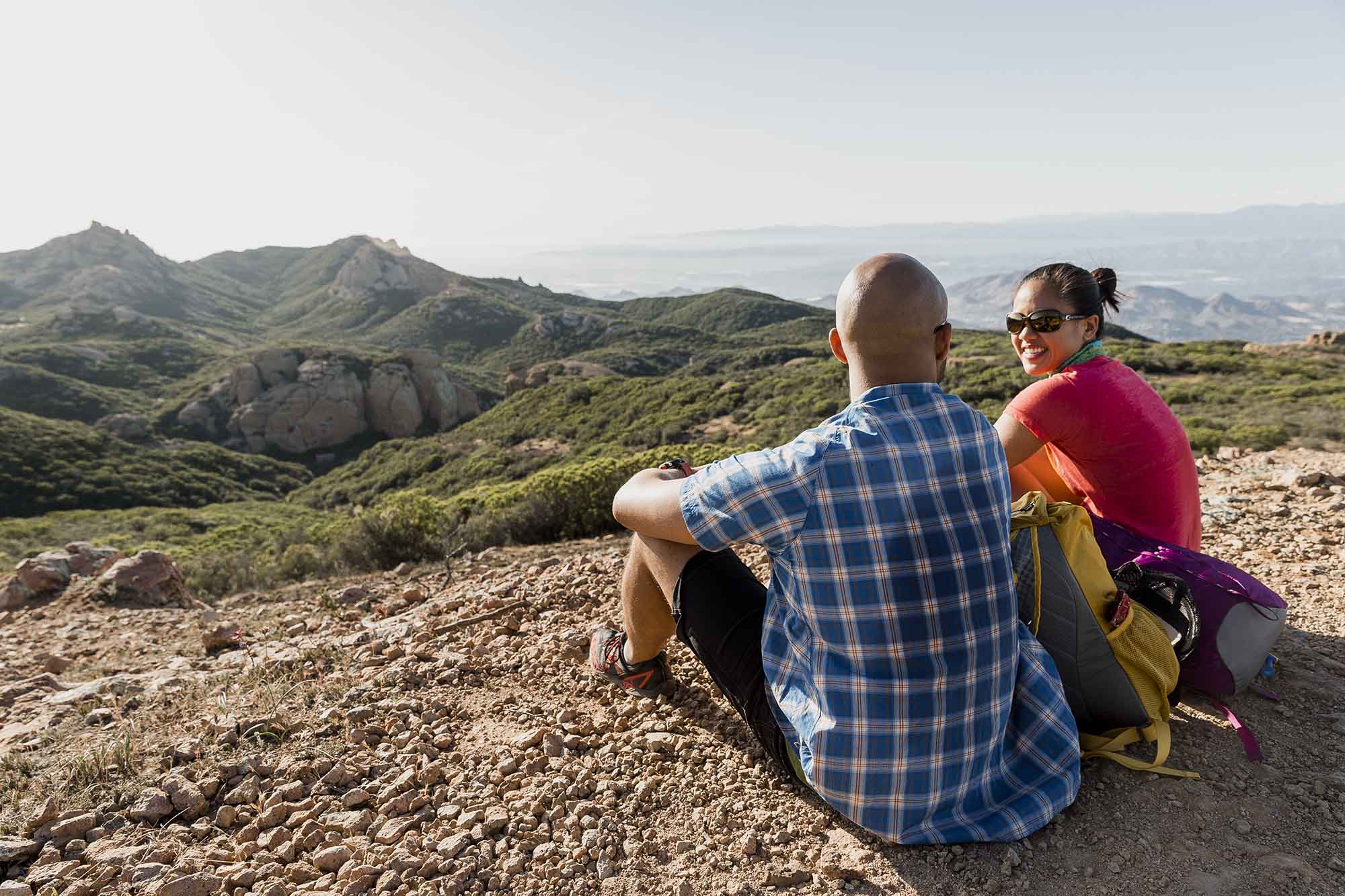
Once a Boy Scout camp, the Santa Monica Mountain’s Circle X Ranch is now a popular public recreation area. The region’s mediterranean-style coastal environment is home to a variety of trails, but for something truly unique, head to the Sandstone Peak Loop for a photo shoot at Balanced Rock. Though it seems ready to tumble down the hillside, you can actually climb this 40-foot-tall boulder. The first part of the loop is open and sunny, so the creek and shade trees at the Split Rock picnic area make for a great pit stop before the trail once again becomes sun exposed higher up the canyon. Just over a mile later, you’ll switch over to the Backbone Trail, which meanders along a somewhat bony ridge past Inspiration Point, Boney Peak and Sandstone Peak, where you’ll have outstanding views of the Channel Islands, Pacific Ocean and Topatopa Mountains.
Top of the World Loop
- Location: Laguna Beach, 59.2 miles southeast of downtown LA
- Length: 7.1-mile lollipop
- Difficulty Rating: Intermediate
- Best For: A moderately long hike with stunning views
- Dogs: Leashed
One of the easier trails of its length in the area, this lovely hike in Aliso and Wood Canyons Regional Park mostly follows wide single and doubletrack trails with few obstacles to tackle. The trailhead can get a bit crowded since it only takes a tenth of a mile to reach popular Top of the World overlook and its panoramic views of the mountains, ocean and surrounding neighborhoods. Though this is the main draw, it’s worth exploring the rest of the park along this loop after visiting the overlook. Once you’re past the crowds, you can enjoy some serenity while following the well-maintained, level path through the canyon along Wood Creek. Dipping in and out of the trees, this section is popular with locals on hot summer days.
Bridge to Nowhere
- Location: La Verne, 40.4 miles northeast of downtown LA
- Length: 9.8-mile out-and-back
- Difficulty Rating: Intermediate
- Best For: An adventurous family hike to an isolated bridge
- Dogs: Leashed
Though there isn’t a ton of shade along the route, this trek is still a great escape from the heat if you and your kids can handle the distance. What starts as a wide dirt path soon gives way to narrow singletrack that follows the tumbling East Fork San Gabriel River. There are numerous swimming holes along the way as the trail hops from bank to bank until eventually reaching the aptly named Bridge to Nowhere. The span was built in the mid-1930s to connect the San Gabriel Valley to Wrightwood, but in 1938 a flood washed out the road that was supposed to cross it. The thoroughfare was never rebuilt, leaving the bridge all on its own. The views of and from the structure have become an iconic part of the San Gabriels.
Dawson Saddle to Mount Baden-Powell
- Location: Wrightwood, 67.4 miles northeast of downtown LA
- Length: 9.1-mile out-and-back
- Difficulty Rating: Intermediate/difficult
- Best For: A remote-feeling hike on a well-maintained trail
- Dogs: Leashed
This out-and-back hike is not as trafficked as many others in the area. Despite its remote atmosphere, the trek isn’t terribly difficult and is a manageable day hike if you’re up for the distance, high elevation and occasional steep inclines. The well-built trail starts up a treed ridgeline via an open and somewhat loose path for almost 2 miles until you turn onto the iconic Pacific Crest Trail. The final push up a short spur trail leads to your goal, the rounded, open summit of Mount Baden-Powell, where you’ll have impressive views of the Sheep Mountain Wilderness Area to the south and the open flats of Antelope and Victor Valleys to the northeast.
San Antonio Falls – Sierra Club Ski Hut – Devil’s Backbone
- Location: Mount Baldy, 49.3 miles northeast of downtown LA
- Length: 10.8-mile loop
- Difficulty Rating: Difficult
- Best For: A strenuous, summit-filled adventure
- Dogs: Leashed
This nearly 11-mile trek to the summit of Mount San Antonio, better known to many Angelenos as Mount Baldy, starts off strong. You’ll score views of the three-tiered, 80-foot San Antonio Falls just a half mile in. Then things get tough. The shady trail becomes exceedingly steep as it ascends the 10,069-foot peak, the tallest point in Los Angeles County. If you find yourself lagging, just remember that the views of the San Bernardino and San Gabriel ranges and the Mojave Desert from the top are epic on a clear day. The descent along the Devil’s Backbone Trail is rugged and—depending on your constitution—chillingly exposed. Though the heights may trouble you, the panoramic views are outstanding.
Trans Catalina Trail (TCT)
- Location: Avalon, Catalina Island, 24 miles to a ferry ride south of LA
- Length: 39.6-mile point-to-point
- Difficulty Rating: Difficult
- Best For: A backpacking adventure
- Dogs: Leashed
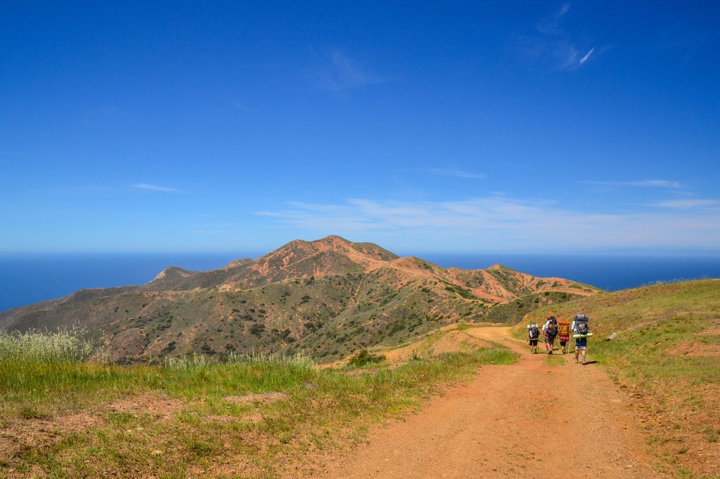
This 40-mile backpacking trek across Santa Catalina Island is no small task. Neither are the logistics. From the hour-long ferry ride to the hiking permits to the campsite reservations, there’s a lot to plan. There’s also a lot to take in as you traverse this ecologically rich island, home to everything from bison and Santa Catalina Island Foxes to sea lions and numerous birds. Though much of the route keeps you high on the ridgelines (where you’ll have views that stretch all the way to the mainland), there are plenty of opportunities to enjoy some time by the water. In fact, you’ll spend your last night right on the Pacific at the secluded Parsons Landing Campground before the final leg of the trek takes you along the coast all the way to the village of Two Harbors and the ferry home.

