True to Texas style, Big Bend National Park is massive. The 800,000-acre park, located along the U.S.-Mexico border, is larger than the state of Rhode Island by some 23,000 acres. And its size is matched by its geographic diversity, which spans from the banks of the Rio Grande across the sprawling Chihuahuan Desert to the 7,000-foot summits of the Chisos Mountains. Add in the park’s 200 miles of trails, and the potential for exploration is practically boundless. You can’t go wrong with any of these seven hikes.
Hot Springs Trail
- Location: 4.9 miles from the Rio Grande Village Visitor Center
- Length: 0.6-mile out-and-back
- Difficulty Rating: Easy
- Best For: Hot springs, history and views
While the Langford Hot Springs are plenty enticing, this hike offers far more than a pleasant, riverside soak. First, the trail winds through buildings from the early 1900s, including a post office, store and motel. Next, look for the petroglyphs and pictographs that dot the cliffs along the Rio Grande below, with the Chisos and Del Carmen mountain ranges looming in the distance. The trail is one of the best known and most accessible in the park, so don’t expect a solo soak when you arrive. Visit at sunrise to warm up on a chilly morning or at sunset for a taste of Big Bend’s renowned stargazing.
Ernst Tinaja
- Location: 6.9 miles from the Rio Grande Village Visitor Center
- Length: 1.3-mile out-and-back
- Difficulty: Easy/intermediate
- Best for: Marveling at Big Bend’s geology
Though short, this 1.3-mile hike showcases some of Big Bend’s most impressive geological features. Beginning in an open wash, the route soon enters an increasingly narrow canyon where exposed rock is stacked in layers of yellow, orange and pink. When the ground abruptly changes from sand to solid stone, you’ll know you’re about to reach the trail’s namesake tinaja, a basin formed in bedrock by water and wind erosion. Ernst Tinaja is the largest of its kind in the region, and the pool’s edge is smooth and slippery meaning it’s easy to fall in and virtually impossible to climb out, so be sure to keep a safe distance.
Upper Burro Mesa Pour-Off Trail
- Location: 19.5 miles from the Panther Junction Visitor Center
- Length: 3.8-mile out-and-back
- Difficulty Rating: Easy/intermediate
- Best For: Canyon scrambling and exploring
Big Bend’s big views are great, but for a far more tactile experience, head to the Upper Burro Mesa Pour-off Trail. You’ll traverse Javelina Wash, passing over boulders, through a slot canyon and past a rock arch, to reach the trail’s namesake pour-off: an abrupt, 100-foot cliff that becomes a waterfall during rainstorms. (Flash floods are a definite possibility, so check the weather and trail alerts and conditions before heading out.) Tread carefully—a misstep near the edge could result in a disastrous fall. If the view from the top of the pour-off isn’t enough, the shorter, more popular Lower Burro Mesa Pour-Off Trail climbs up the lower half of the wash for a view of the cliff from below.
Santa Elena Canyon Trail
- Location: 8.5 miles from the Castolon Visitor Center
- Length: 1.0-mile out-and-back
- Difficulty Rating: Easy/intermediate
- Best For: A quick hike to Big Bend’s largest canyon
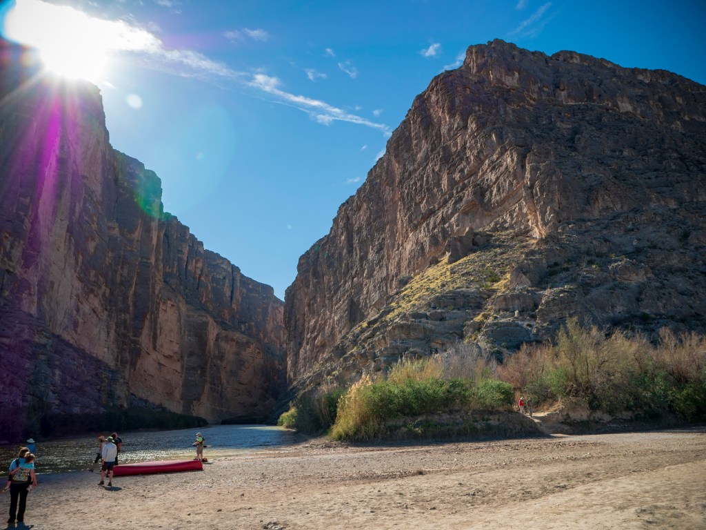
While the best way to experience Santa Elena Canyon is from a raft on the Rio Grande, this hike is the next best option. From the trailhead, cross shallow Terlingua Creek and follow the well-marked route to the river’s edge. Linger by the water below the 1,500-foot red rock cliffs or climb a series of steep switchbacks to an overlook with views into the canyon, across the border into Mexico and over the desert toward the Chisos Mountains. The trail might be short, but it’s the only way into the canyon on foot. Plus, it’s a great excuse to explore the farthest reaches of the park along the spectacular Ross Maxwell Scenic Drive.

People stand on the shore of the Rio Grande at the mouth of Santa Elena Canyon (Photo Credit: Jonathan Cutrer under CC BY 2.0).
Lost Mine Trail
- Location: 1.2 miles from the Chisos Basin Visitor Center
- Length: 4.6-mile out-and-back
- Difficulty Rating: Intermediate
- Best For: If you only have time for a single hike, this is the one to do
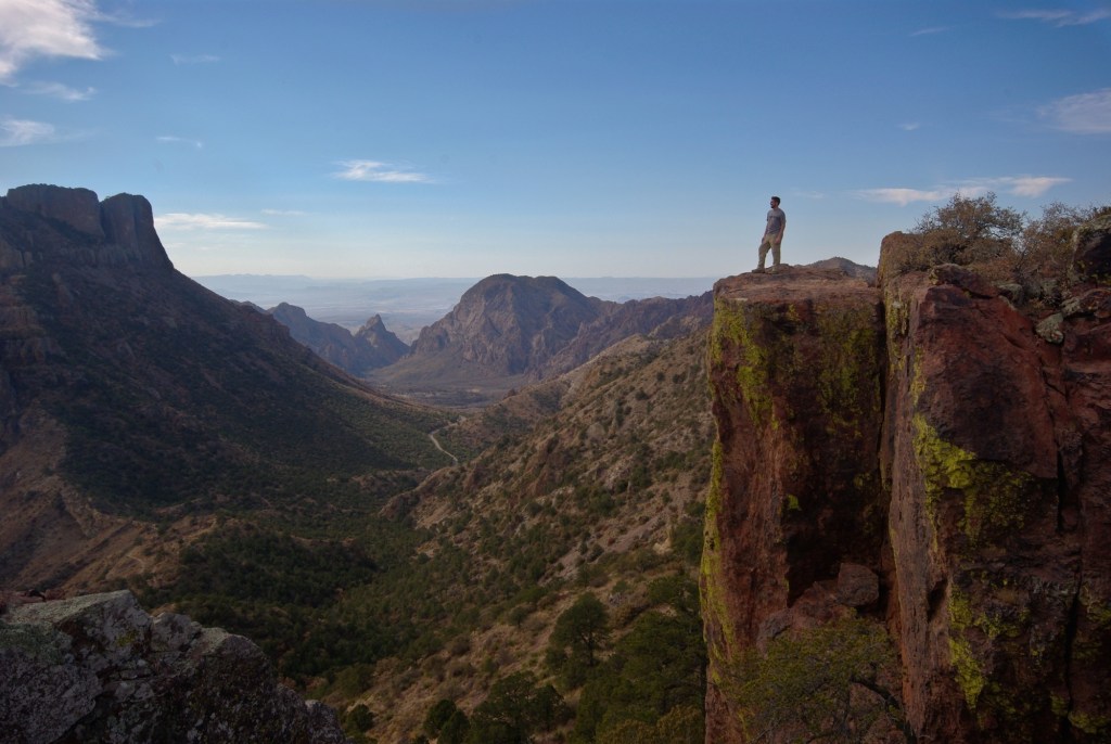
This Chisos Mountains classic delivers expansive views without an all-day effort. After a mile of steep climbing through oak and pine trees (accompanied by interpretive signs explaining the area’s plant and animal life), the trail crests a ridgeline revealing the route’s first unobstructed vista. And the views—which include the entire Chisos Basin, the V-shaped notch known as The Window, the fortress-like outcropping of Casa Grande and the vast Chihuahuan Desert—only get better from there.

Overlooking the Chisos Basin (Photo Credit: Adam Baker under CC BY 2.0).
Chisos Mountain Loop
- Location: 0.3 miles from the Chisos Basin Visitor Center
- Length: 16.6-mile loop
- Difficulty Rating: Intermediate/difficult
- Best For: An epic loop in the Chisos Mountains
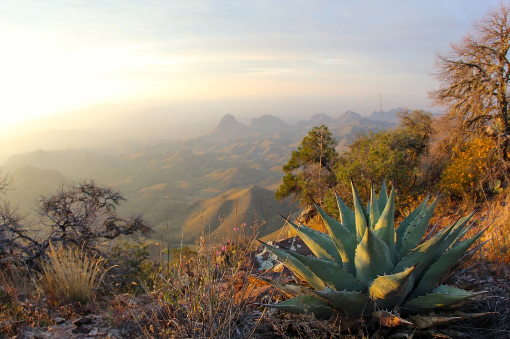
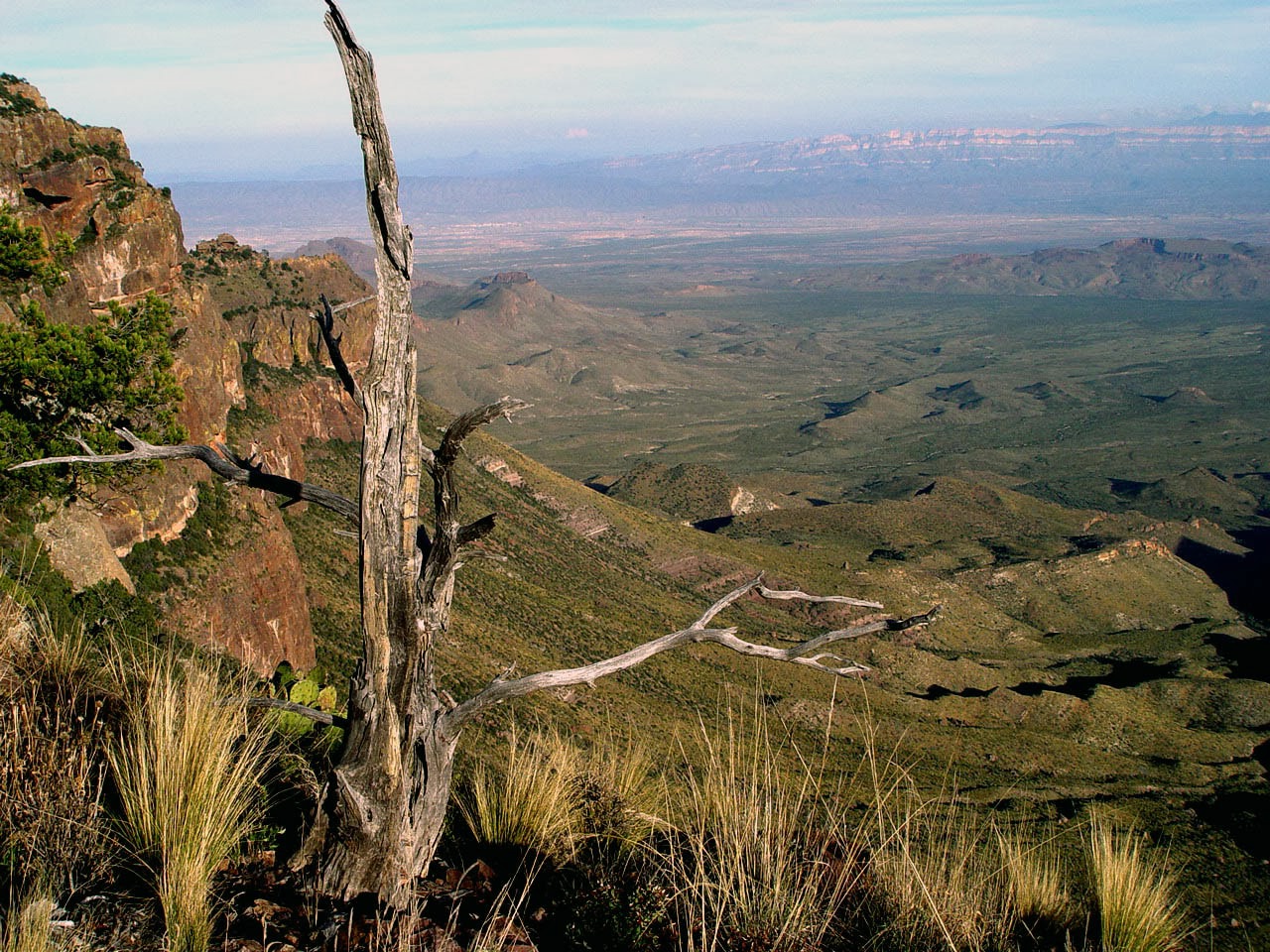
Link together four fantastic day-hikes into a single, challenging outing for the ultimate Chisos tour. Beginning deep in the basin, this loop ascends through mixed pine, oak and juniper until the vegetation thins, unveiling the surrounding peaks, buttresses and pinnacles. As you traverse the South Rim—the sheer, 2,000-foot drop that spans the southern border of the Chisos Mountains—you can take in sweeping vistas of the entire southern portion of the park. Then top out on 7,825-foot Emory Peak, Big Bend’s tallest mountain, for unobstructed views of the entire range. If the full loop sounds like too much for a single day, get a backpacking permit and spend the night at one of the backcountry campsites along the South Rim.

Overlooking the Chihuahuan Desert from the South Rim during sunset (Photo Credit: daveynin under CC BY 2.0).
Oak Springs Trail and The Window
- Location: 16.0 miles from the Panther Junction Visitor Center
- Length: 7.8-mile out-and-back
- Difficulty Rating: Intermediate/difficult
- Best For: Less crowded access to a famous landmark
If the Window, a water-carved, V-shaped notch in the ridge that rings Chisos Basin, is one of Big Bend’s most famous destinations, it’s crowds are infamous. Avoid (most of) them on the Oak Springs Trail. Though the wide and exposed Window Trail is the typical path used by most visitors, the Oak Springs route climbs up from the desert, winding along the mountainside beneath the Window, and drops into a ravine where a set of rocky steps ascends to the lip of notch. Not only are the views better, but the trail also moves between the park’s desert and mountain ecosystems—a rare combination in Big Bend. Back at the trailhead, consider checking out nearby Sam Nail Ranch Trail for a bit of history and bird watching before departing along Ross Maxwell Scenic Drive.
