In 2017, the public lands spotlight focused on the deserts of southern Utah. Bears Ears, the massive swath of lands known best for sweeping canyons and red rock wonderlands, has been the center of political debates, protests and outdoor advocacy movements. Slightly less covered by mainstream media, but equally affected, is the Grand Staircase-Escalante region.
With the presidential proclamations to shrink Bears Ears and Grand Staircase-Escalante national monuments in effect (at least for now—the decision is subject to multiple lawsuits), we wanted to know: What happens to the land no longer protected as a monument and what does it mean for recreation?
To begin, it is important to acknowledge the first land managers of this area: indigenous tribes. Numerous tribes consider the Bears Ears area historically and culturally significant. For centuries—and still today—Native Americans called this land home. They farmed, built communities, practiced sacred ceremonies and carried messages across hundreds of miles by foot on these lands.

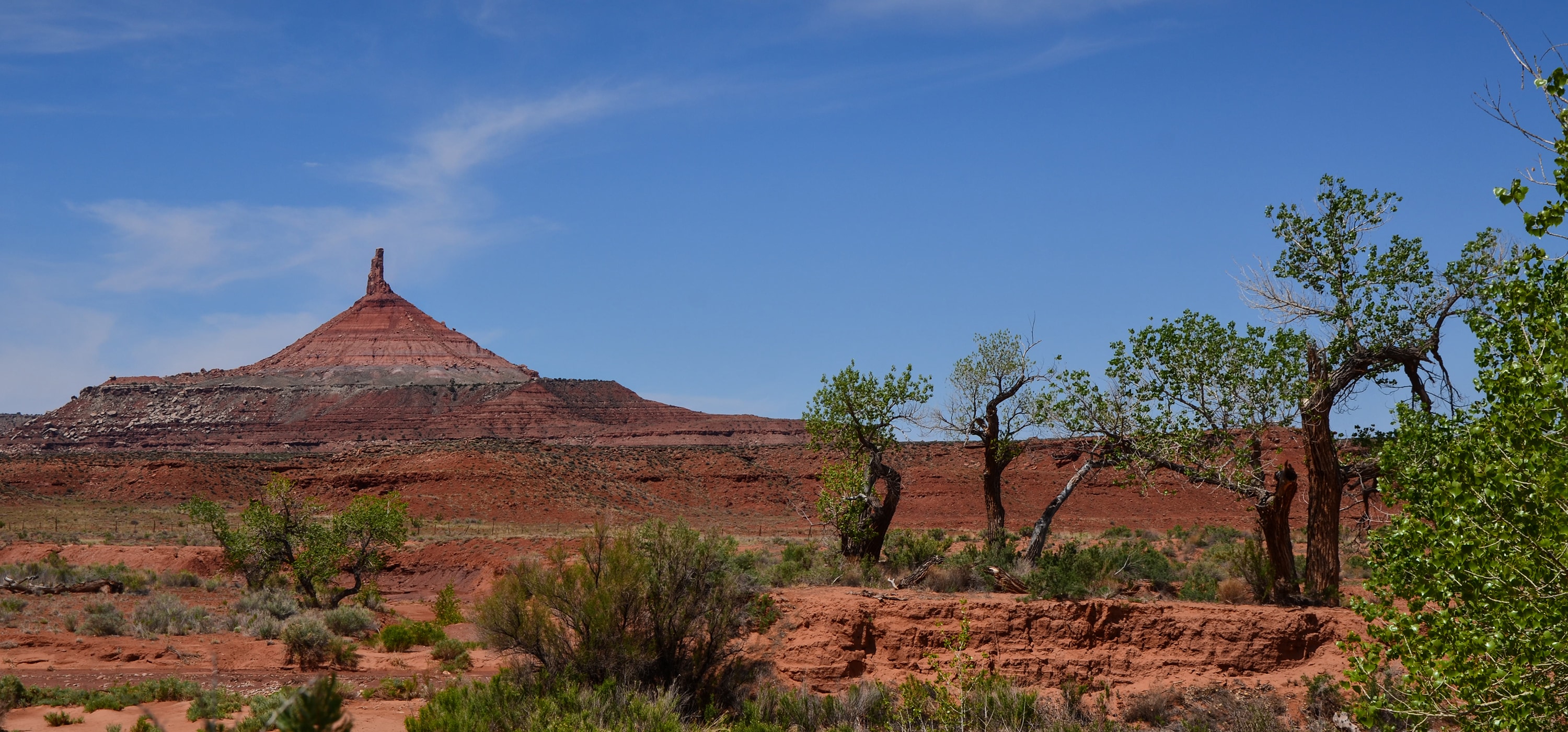
Bears Ears (Photo Credit: Katie Boué)
For years, Utah Diné Bikéyah advocated for 1.9 million acres of land in the Bears Ears region to be permanently protected as a national monument. In 2016, President Obama declared 1.35 million acres as Bears Ears National Monument. In collaboration with the recreation industry, this designation included specific language ensuring climbing in areas like Valley of the Gods would remain accessible.
Grand Staircase-Escalante predates Bears Ears National Monument by two decades. In 1996, President Clinton designated approximately 1.7 million acres to be protected as a national monument.
The more recent Bears Ears designation came with controversy as the local extraction community clashed with outdoor recreationalists and tribes, and eventually resulted in a review of 27 monuments by U.S. Secretary of the Interior Ryan Zinke. In December 2017, President Trump formally announced plans to scale back and alter both Bears Ears and Grand Staircase-Escalante National Monuments. In early February 2018, the presidential proclamations took effect, reducing Bears Ears by 85 percent and dividing it into two units, Indian Creek and Shash Jáa, and reducing Grand Staircase-Escalante by nearly half and dividing it into three units, Grand Staircase, Kaiparowits and Escalante Canyons. Proposed legislation HR 4532 would eliminate the name “Bears Ears” entirely, and rename Indian Creek and Shash Jáa as two smaller monuments. This bill is currently in the House.
By the Numbers
Bears Ears National Monument
- Original Boundaries: 1,351,849 acres
- New Boundaries: 201,876 acres
- Proposed: 0 acres*
Grand Staircase-Escalante National Monument
- Original Boundaries: Approximately 1.7 million acres
- New Boundaries: 1,003,863 acres
*Reforming and renaming as Indian Creek and Shash Jáa National Monuments at 86,447 and 142,337 acres, respectively
Land no longer protected as a monument remains public land, but it returns to the land designation it previously held. The designation impacts what types of activities are allowed (and not allowed) in the area.
The formation of Bears Ears National Monument involved pulling acreage from numerous different land management agencies. Within the former boundaries of Bears Ears National Monument, you’ll find land managed by the U.S. Forest Service, the Bureau of Land Management and state-owned areas managed by the School and Institutional Trust Lands Administration.

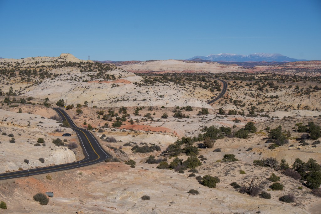
Grand Staircase-Escalante (Photo Credit: Katie Boué)
In Grand Staircase-Escalante, the monument was created largely from Bureau of Land Management land, but also included a number of Utah School and Institutional Trust Lands parcels. The SITLA plots within the monument’s boundaries were eventually traded for federal land elsewhere in Utah in 1998.
View larger map. Map courtesy of Outdoor Alliance.
So, what’s allowed and not allowed in these different areas? Here’s how the various land management agencies stack up.
National Monuments
Comparable to national parks, designated national monuments are one of the highest levels of protection for public lands. This also means they are more restrictive for use, by both recreationalists and other users, like ranchers, loggers, etc. Monument designations do not always include language about recreation access. But in the case of both Bears Ears and Grand Staircase-Escalante, original designation proclamations included language that maintained public access for activities ranging from climbing to herb gathering. The revised designations leave this access up in the air, though. Many monuments allow activities like camping, horseback riding, motorized vehicles (on designated roads), etc.
16 presidents have used the Antiquities Act of 1906 to establish or enlarge national monuments. The Antiquities Act can be utilized to protect natural, cultural and historical places as national monuments; to expand current monument boundaries; to designate current monuments as national parks; and to allocate resources for monument management. Congress, too, can declare a national monument, which has happened 45 times, according to the National Park Service. In addition, Congress has used the Antiquities Act to redesignate more than two dozen national monuments as national parks.
National monuments can be managed by the National Park Service, the U.S. Forest Service, the U.S. Fish and Wildlife Service, the Bureau of Land Management or the National Oceanic and Atmospheric Administration. National monument designation grandfathers in “existing rights,” such as oil leases, access to private property, mining claims and livestock grazing. However, it does protect the land from additional extraction leases.
- Mission (Antiquities Act): “to preserve for present and future generations the historic, scientific, commemorative, and cultural values of the archaeological and historic sites and structures on these lands.”
- Primary Resources Managed: Land, wildlife and historical conservation
Bureau of Land Management Land (BLM)
Although some land management agencies focus on a single use, like recreation or historical preservation, BLM land is mandated for multiple use. This includes a wider range of outdoor recreation, resource extraction, livestock grazing, logging, renewable energy development, wild horse management and more. These activities are allowed on BLM land unless there is a special designation otherwise. Many recreationalists seek out BLM land for dispersed camping.
The BLM administers all regions of the Grand Staircase-Escalante National Monument. It was the first national monument to be managed by the BLM. The BLM and Forest Service currently co-manage Bears Ears, along with a coalition of the five tribes that form Utah Diné Bikéyah.
- Mission: “… to sustain the health, diversity and productivity of the public lands for the use and enjoyment of present and future generations.”
- Primary Resources Managed: Domestic grazing, mining, timber, energy extraction, fish and wildlife habitat
Wilderness Study Areas (WSA)
These undeveloped, roadless federal lands are maintained by the BLM in their natural conditions. WSAs have been inventoried by Congress and found to have qualifying characteristics including size, naturalness and solitude opportunities. They are not designated wilderness, the highest level of protection for federal lands, but have the potential to become so with congressional approval. WSAs are generally managed in the same way as wilderness areas, though some have permitted mechanized activities, like mountain biking.
You can camp in wilderness study areas, and engage in low-impact, non-mechanized activities like hiking, horseback riding, fishing and hunting.
- Mission: To retain land’s primeval character without permanent improvements, structures or human habitation.
- Primary Resources Managed: Land and wildlife
National Forests
Managed by the U.S. Forest Service, national forests are landscapes protected under a multiple use concept. This means they can be used for everything from recreation and logging to mineral extraction and grazing. National forests are often located near national parks, often as a “protective buffer zone,” according to the Department of Interior. The U.S. Forest Service manages 154 national forests and 20 grasslands.
President Obama included portions of Manti-La Sal National Forest in his original Bears Ears proclamation, including the majority of the Monticello Ranger District, and the Dark Canyon Wilderness, which is the national forest’s only wilderness area. All of this land has now reverted back to its original national forest or wilderness designation.
- Mission (USDA): “… to sustain the health, diversity, and productivity of the Nation’s forests and grasslands to meet the needs of present and future generations.”
- Primary Resources Managed: Forest products, domestic grazing, fish and wildlife habitat
Trust Land
According to the School and Institutional Trust Lands Administration (SITLA): “Unlike public lands, trust lands are parcels of land held in trust to support 12 state institutions, primarily public schools, but also state hospitals, teaching colleges, and universities. While 67 percent of Utah is held in public domain, only about six percent of the state’s acreage is set aside as trust lands.”
In Utah, SITLA manages 3.4 million acres of state-owned trust land (shown as blue squares on the map). These parcels of land within the Bears Ears area make it difficult for continuous management of the area by BLM. When the monument was designated, the state agreed to swap those parcels of land for other federal lands in Utah, primarily around the Book Cliffs area. A similar exchange occurred when Grand Staircase-Escalante was designated in 1996.
Note about state land: State lands in Utah are not required to analyze the environmental impacts to the land before undergoing projects—only federally managed land is. (Source)
What’s no longer protected as a national monument?
A lot. In addition to more than 100,000 Native archaeological and cultural sites, more than 80 percent of river miles included in the original Bears Ears monument has been removed, according to Outdoor Alliance. Large areas containing hiking and mountain biking trails between Indian Creek and Arch Canyon lost their monument status. Crucial sites of indigenous significance, Cedar Mesa and Elk Ridge, are outside of the redrawn boundaries. Valley of the Gods has lost monument status, and is now managed by the BLM as an Area of Critical Environmental Concern. Canyoneering access in the west-central region of the former Bears Ears monument have lost their protection, as have long stretches of hiking and mountain biking trails. Nearly 200 miles of canyons in Mancos Mesa near Lake Powell have also been removed from monument status. Some of the land outside of the former shrunken monument boundaries is now open to potential oil and mineral extraction, as well as other industrial activity.
In Grand Staircase-Escalante, perhaps the most notable exclusion from the new boundaries is the majority of Hole in the Rock trail. Buckskin Mountain, which borders Arizona, is no longer within the monument. Additional sites left out of the redrawn monument include Alvey Wash, Carcass Canyon and Horizon Arch.
What is still protected as a national monument?
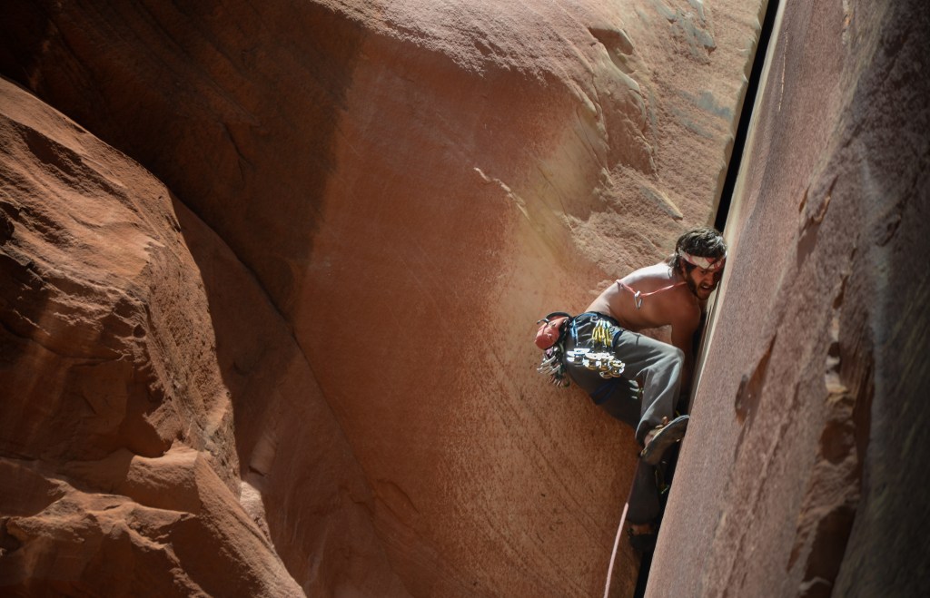
In Bears Ears, the majority of one of the most popular climbing destinations in the region, Indian Creek, retains monument protection and climbing access, as well as both Six Shooter peaks. The archeological site Newspaper Rock is included within these boundaries. A lone island of land, Natural Bridges National Monument, was once surrounded by a topographical sea of Bears Ears, and retains its monument status. To the east of Natural Bridges, the Arch Canyon area’s climbing and trails remain protected. Important Native ruins Doll House and Moon House also remain protected.

Indian Creek, Bears Ears (Photo Credit: Katie Boué)
In Grand Staircase-Escalante, sites including Grosvenor Arch, Hackberry Canyon, the Paria townsite and Devil’s Garden remain within monument boundaries. The popular collection of slot canyons leading to Escalante Natural Bridge in the Escalante Canyons unit are also still protected within the monument, including Calf Creek Canyon.
What happens next for these beloved—and highly disputed—public lands?
Navajo President Russell Begaye recently urged Rep. John Curtis, R-Utah, to withdraw HR 4532, the Shash Jáa National Monument and Indian Creek National Monument Act. This bill would codify Trump’s shrinking of the monuments, while also creating the two above-named, smaller national monuments. Based upon map overlays comparing proposed oil and gas leasing areas with reduced boundaries, there is much speculation among environmental groups that the extraction industry could have a significant impact on land areas formerly protected by monument status. Two notable areas of extraction interest lie north of Indian Creek and east of Arch Canyon.


